Hike To The Mighty Todorka Peak: 3 Different Routes To Get There
Pirin National Park has many amazing mountain peaks, but there is one that probably everyone in Bansko knows: the Todorka Peak. It’s the peak that you can see from pretty much every corner in Bansko. And although Vihren is the highest, Todorka is the most recognizable: standing all by itself, looking dramatic with steep drops on both sides.
In this article I will share everything you need to know to hike to the Todorka Peak. Since there are multiple trails to get there (and I have done them all) you can choose which one suits you best.
Last update & prices in this article are from February 2026.
Also read: Hike To Sinanitsa Peak – Everything You Need To Know
Practical information about Todorka Peak
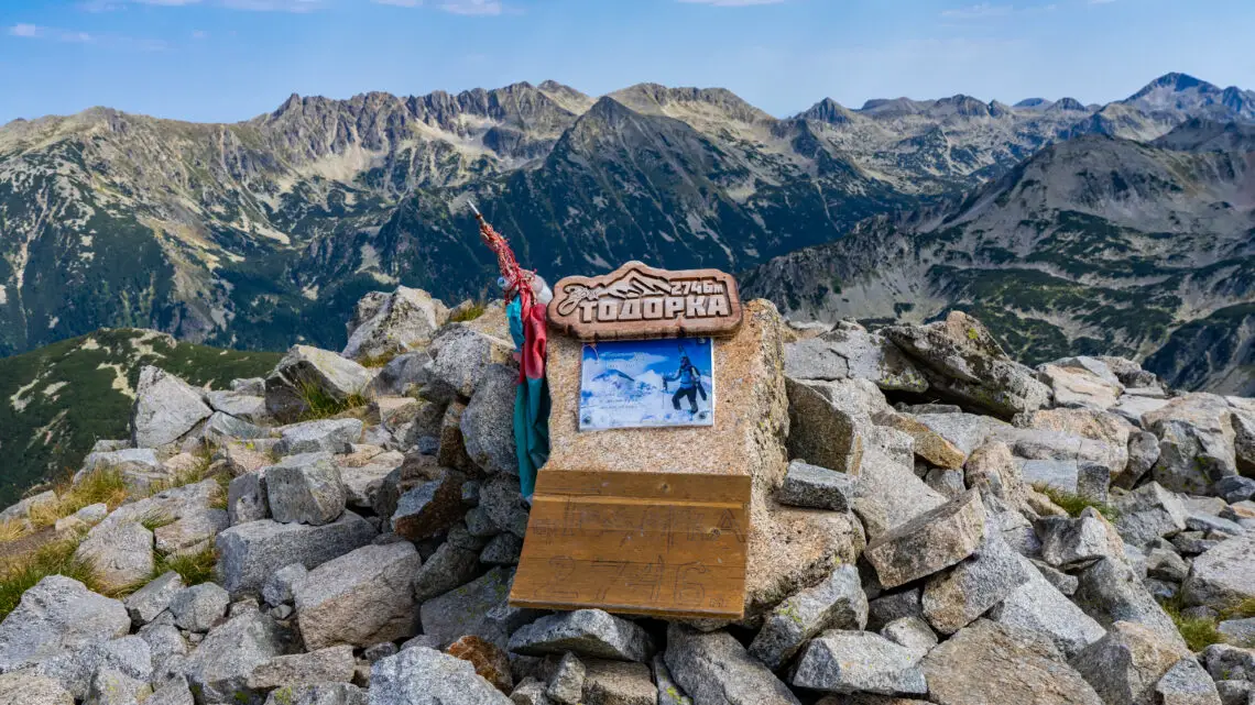
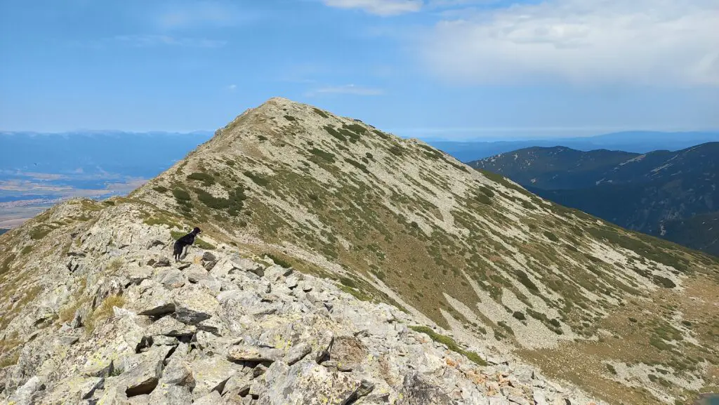
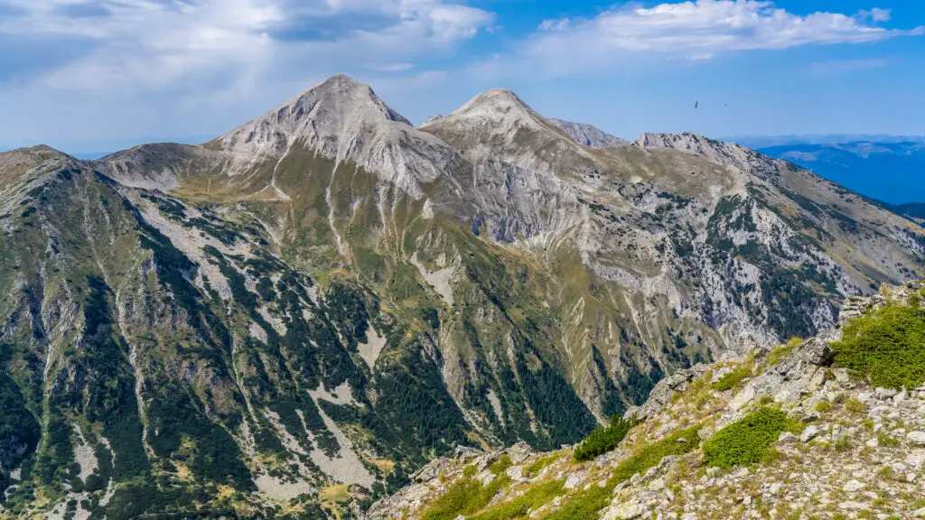
Todorka is 2746m high and one of the most iconic mountain peaks in Pirin National Park. From Bansko you can see the peak pretty much everywhere. For winter sports lovers it’s a great navigation point and there are even freeride competitions in winter from the ridge (but only for real dare devils)!
Legends about Todorka Peak
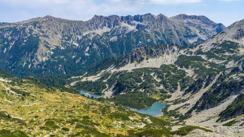
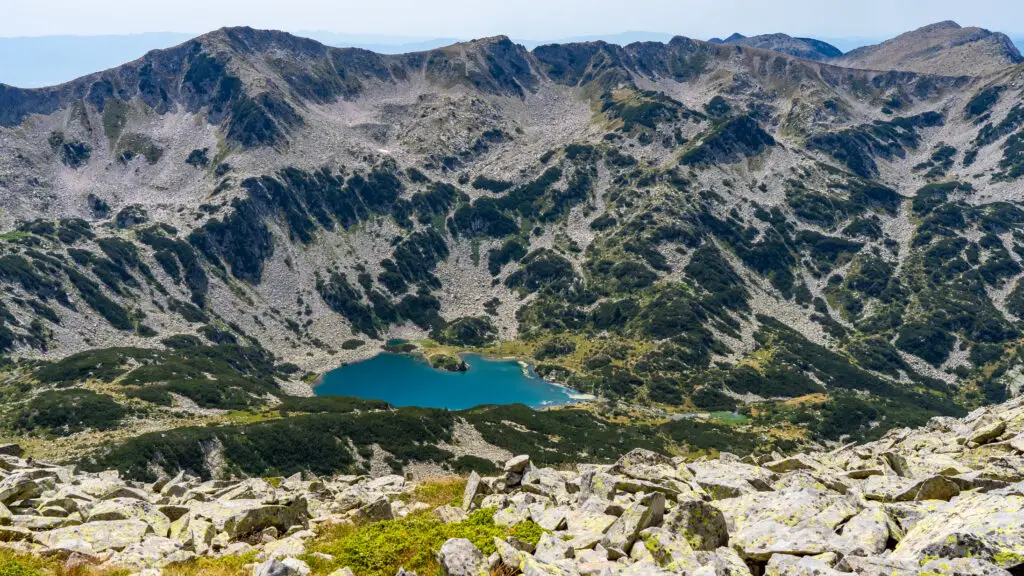
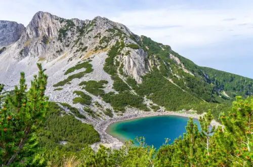
Bulgarians love to combine mountain peaks with legends. The story about Todorka is a well known one. A girl named Todorka was chased during the Ottoman invasions, all the way from Bansko into the mountains. When she finally stood on top of this mountain peak she sacrified herself and died instead of getting captured and converted to Islam. Her tears before she threw herself off the peak created the lakes behind the peak, the Todorini Ochi (Todorka’s Eyes). You can see them from the Todorka peak and the rest of the Todorka ridge.
Another legend tells us that Todorka was in love with a guy named Vasil. Her father was against their love and that made Todorka so sad that she withdrew into the mountains. Desparate and heart-broken she created the two lakes with all her tears before she threw herself off the peak. Vasil searched for her, but never found her. So eventually he threw himself off another peak as well: Vasilashki Chukar (also a lovely hike, but let’s save that for another article haha).
Starting points for the hike
There are multiple ways to the Todorka Peak:
- You can start at the Vihren Hut. You can park close to the mountain hut or take a taxi/shuttle up to the hut from Bansko. These are the Google Maps coordinates for Vihren Hut.
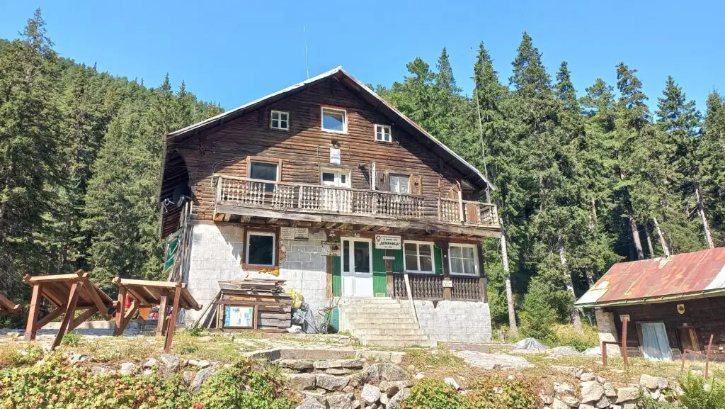
- Another option is to follow the Demyanitsa Trail to the Demyanitsa Hut. You can even start this trail from Bansko, although most people will start from the parking lot at the chapel. These are the Google Maps coordinates for the parking lot at the chapel on the Demyanitsa Trail.
- And last but not least you can start the hike from Shiligarnik. There is a parking lot next to BlaBla. In winter this is a popular hut to stop for a drink or some food. These are the Google Maps coordinates for the parking lot at BlaBla.
I would say that the Vihren Hut is the most convenient one if you don’t have your own transport, since there are shuttle busses going up to the Vihren Hut.
All 3 hikes that I describe here are point-to-point hikes, but if you’re feeling adventurous you can also go via one trail and go back via another trail. For example: you can start from the Vihren Hut, go to the Todorka Peak and go back via the Demyanitsa Hut & Trail, all the way to Bansko. It’s a long one, but definitely worth it. But this only makes sense if you don’t have a car parked at the Vihren Hut, right? Puzzle a bit and see what works best for you.
My favourite route to go to Todorka Peak
Park the car at the parking lot of the chapel at the Demyanitsa Trail and start from there.
Hike up to the Demyanitsa Hut, maybe have a coffee or breakfast before you continue.
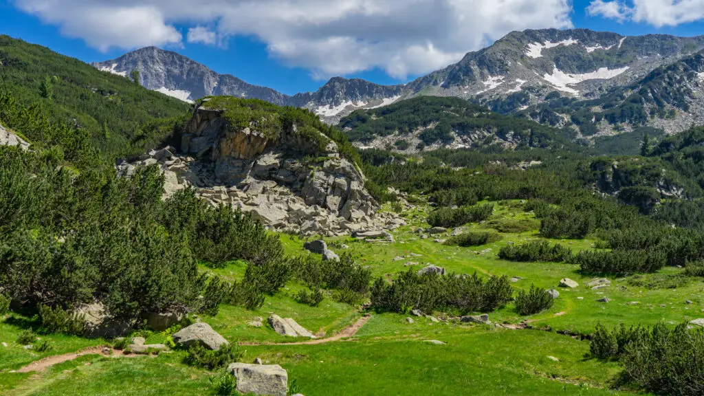
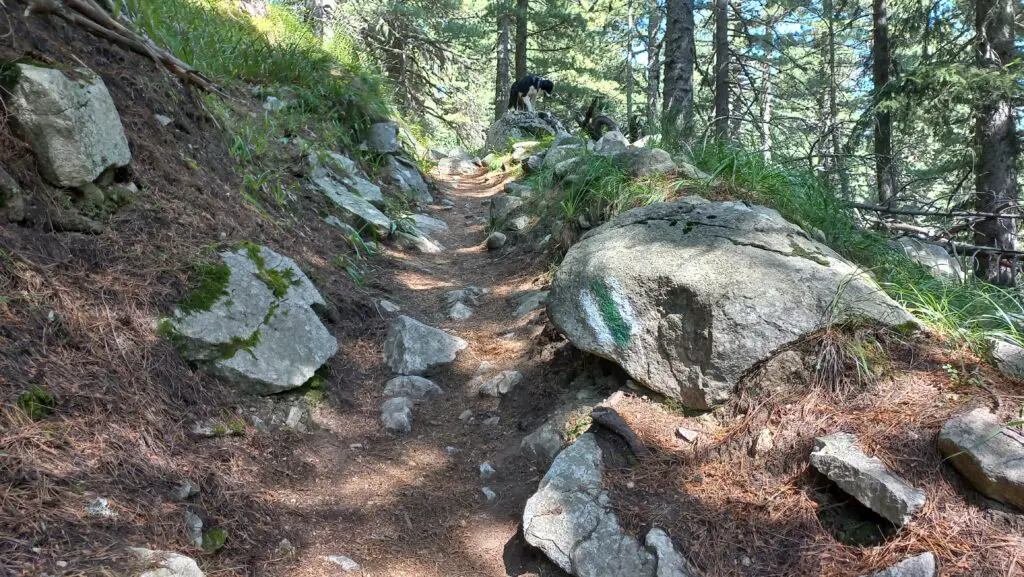
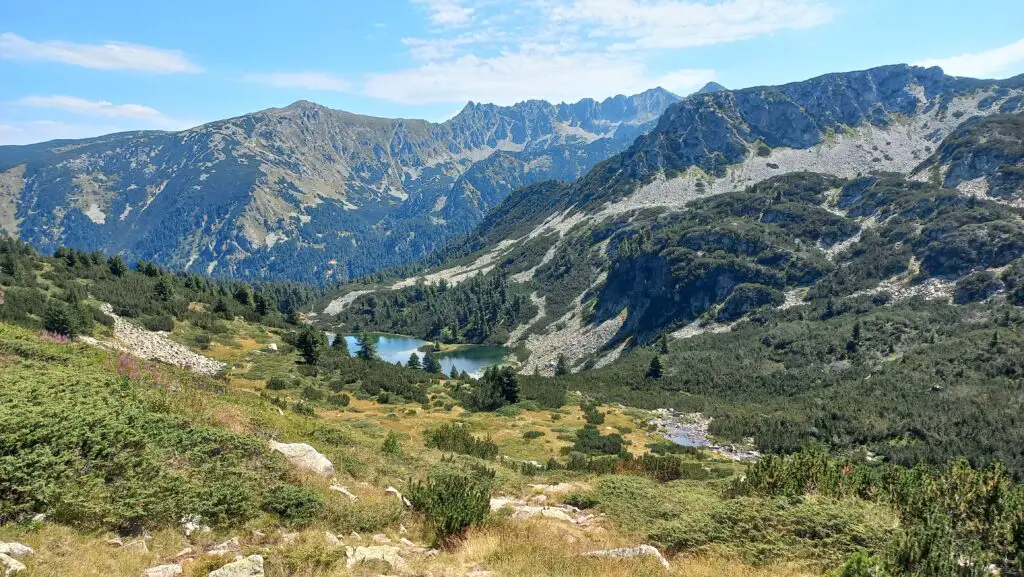
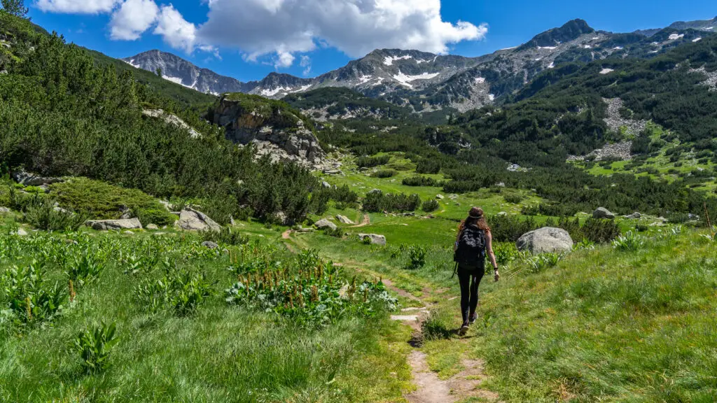
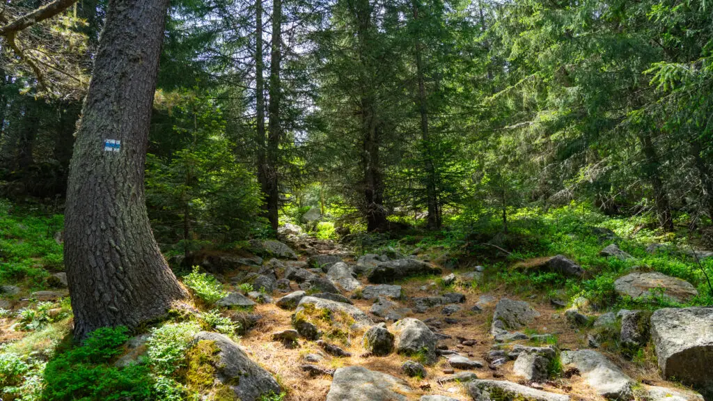
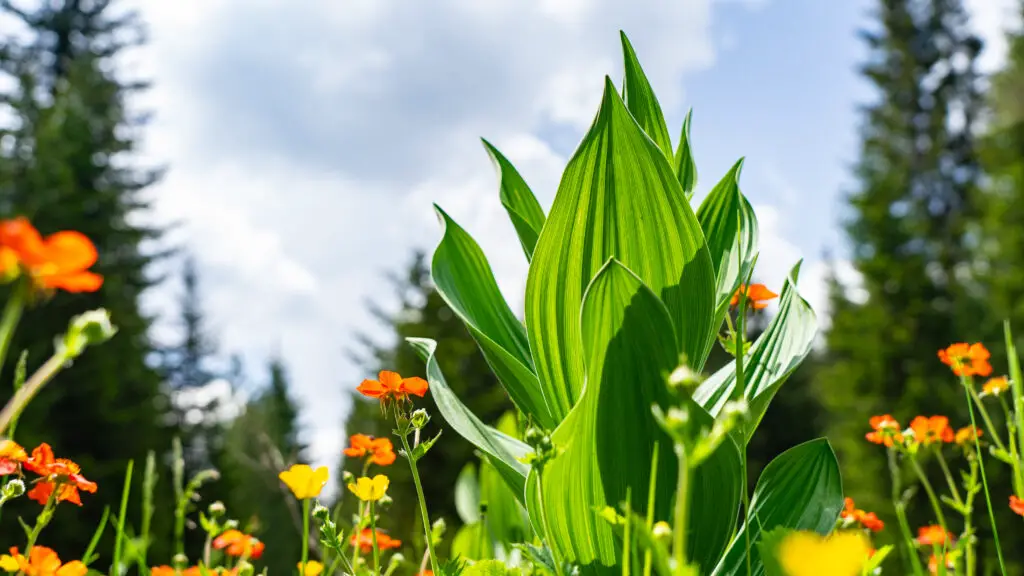
Then hike from Demyanitsa Hut to Todorka Porta. It’s a bit of a climb but the mountain lakes and flora & fauna there are amazing. And all of it is a gradual hiking trail up, nothing technical.
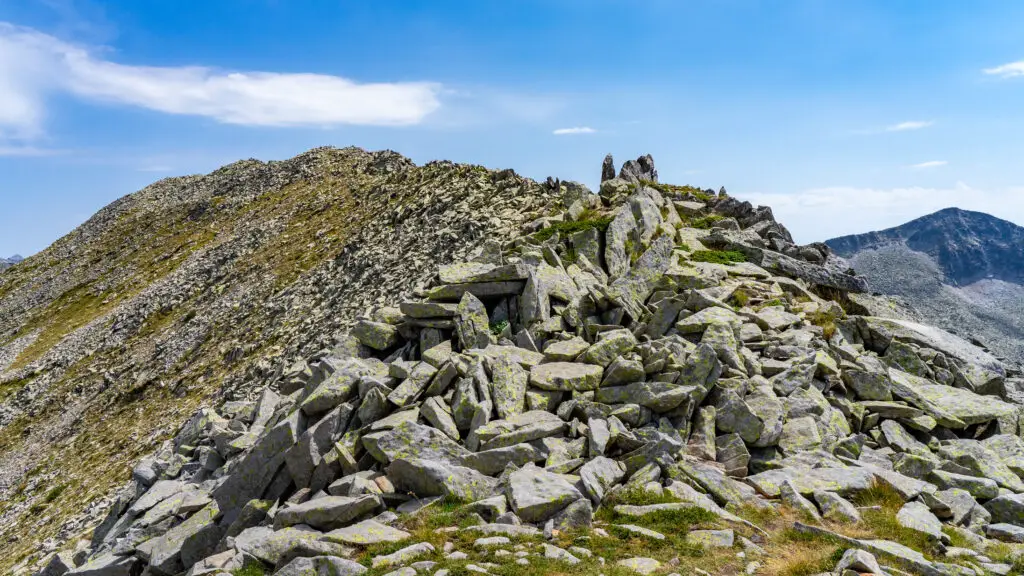
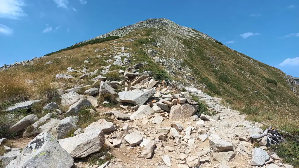
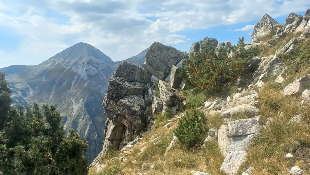
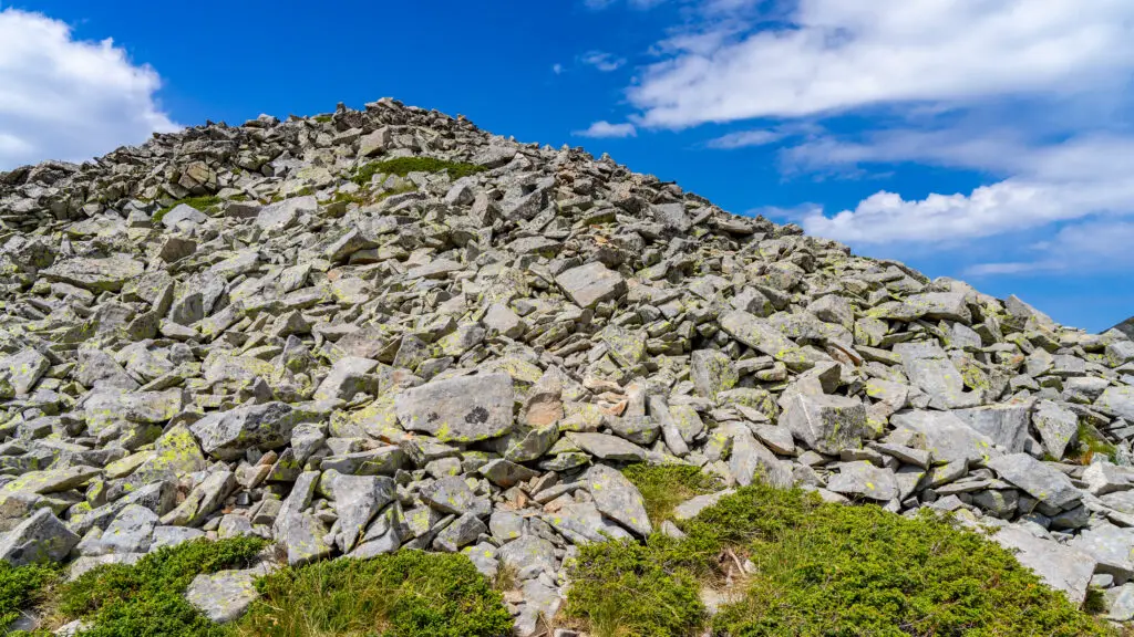
From Todorka Porta you follow the ridge to Todorka Peak. Even though the distance is not much it will take you a good hour because you’re walking via big boulders.
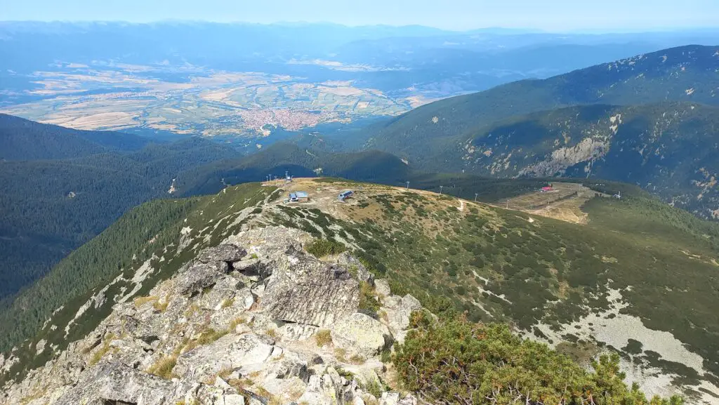
From Todorka Peak you will climb down to the ski lift and slopes of Plato. This part is the most technical part of the entire trail, so be careful. If you’re afraid of heights, this might be a bit scary for you. But again: nothing very technical. No ropes or climbing involved.

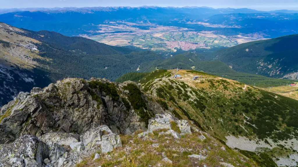
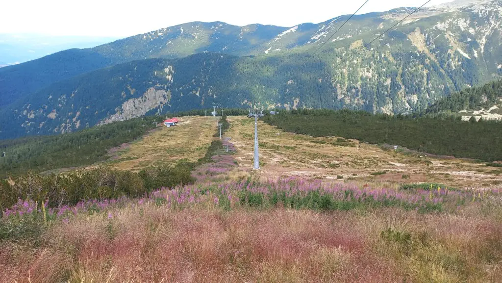
From Plato you walk down via the slopes. I would suggest to walk down to Mosta (another ski lift, not operating in summer). It is funny to see the slopes covered in grass and plants if you’re used to see it in winter, covered in snow. In June and July it might be a bit overgrown and more tricky to walk down here, but it is doable. August and September it’s a bit easier to walk here. From Plato you walk down, towards The Goat (another mountain hut, not operating in summer). From here you’ll stay mainly to the right side every time there is a split in the road. This way you’ll follow first slope 5 and then slope 12 to Mosta.
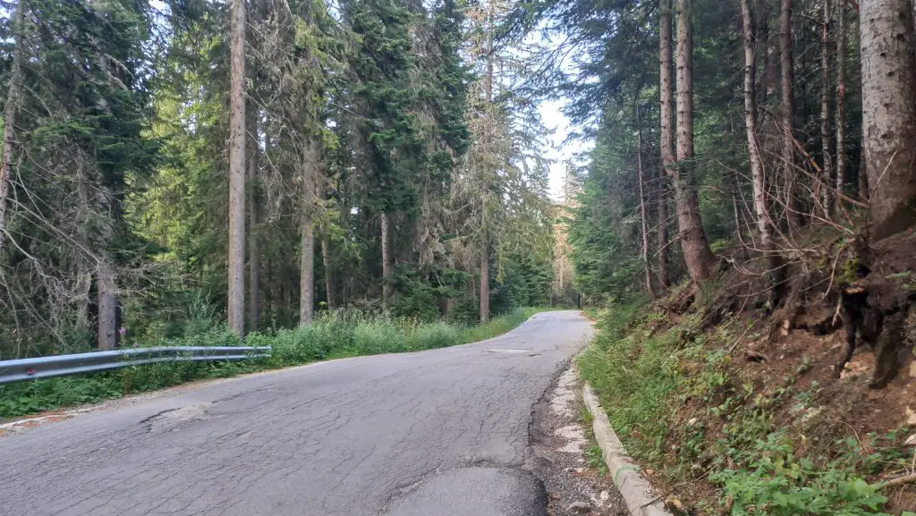
From Mosta (at the end of the slope you will see a ski lift and the car road) you have to walk a bit via the car road. If your legs are tired I would suggest to just follow the car road, back to the parking lot at the chapel. But if you want, there is a shortcut trail halfway that goes towards Chalin Valog. I suggest to open Mapy.cz to see the shortcut that will bring you back to the chapel parking lot.
This entire hike is 21 kilometers and about 1400 meters up and down, so it’s classified as a difficult hike. You can open this hike via Mapy.cz. Keep in mind that the map will show you the route via the slopes to Shiligarnik and then to Mosta, but via the direct slope to Mosta it’s a bit faster and shorter (it won’t show it via the app, but you basically walk underneath the ski lift line).
Hike 1: Vihren Hut To Todorka Peak & Back
Total kilometers: 11,5 kilometers in total (there and back)
Elevation: 900 meters up and down
Hiking time: I would say it takes 1,5 hours to get from Vihren Hut to Todorka Porta, maybe 2 if you want to have a break in between. From Todorka Porta it takes another hour to the Todorka Peak. Most people will go back the same way, with a break at the peak. I would say in total this hike takes 5 to 6 hours. From the 3 options in this article I consider this one the easiest.
Type of hike: point-to-point (and same way back)
Hiking trail: you can open this hike from Vihren Hut to Todorka Peak on Mapy.cz via this link
Hike 2: Demyanitsa Trail To Todorka Peak & Back
Total kilometers: 25 kilometers in total
Elevation: 1450 meters up and down
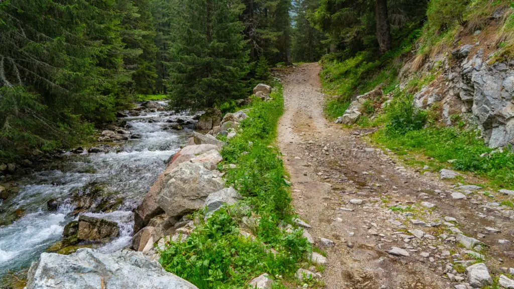
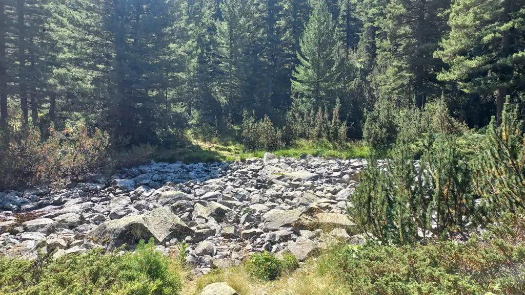
Hiking time: if you start from the chapel at the Demyanitsa Trail it will take about 2 hours to get to the Demyanitsa Hut. From the hut you’ll climb up for another 2 – 2,5 hours to Todorka Porta, where the ridge starts. Going over the ridge will take another hour, so 5,5 to 6 hours in total to the peak. The way down will take less time, but I would still schedule a good 10 to 12 hours for this hike. It’s a long one, but it’s a very nice and diverse hike (I love the Demyanitsa Trail where you walk next to the river the entire time).
Keep in mind: this trail is NOT possible when the river level is high (usually in April-May). You have to cross a river bed that is normally dry, but not when all the snow is melting after the winter season. The river bed is just after the part where you climb up after the Demyanitsa Hut.
Type of hike: point-to-point (and same way back)
Hiking trail: you can open this hike from the Demyanitsa Trail to Todorka Peak on Mapy.cz via this link
Hike 3: Shiligarnik To Todorka Peak & Back
Total kilometers: 10 kilometers in total
Elevation: 1000 meters up and down
Hiking time: it depends a bit on how the slopes are during your hike: if they are overgrown it will take a bit longer to hike up and down, but in August-September I would say the hike takes about 5 to 6 hours. On this trail (that you can also see via Mapy.cz below) you will follow a blue slope up. If you’re ready for a shorter, but more challenging hike up, you can also follow the red slope, pretty much following the ski lift line on the map. It is steep though, so for going down I would definitely recommend following the blue slope trail.
Type of hike: point-to-point (and same way back)
Hiking trail: you can open this hike from Shiligarnik to Todorka Peak on Mapy.cz via this link
Save for later? Use Pinterest!


Also read: Hike The Donchovi Karauli Ridge In Pirin (Near Bansko)
Do you still have any questions about the hike to Todorka Peak? Or do you have another route that you would love to share with other people. Please share it in the comments below!
Disclaimer: this page might contain affiliate links. This is a free website, but of course it takes time and energy to gather information, take pictures and videos and create articles to help you. Via affiliate links we get a commission if you buy or book something online. At no extra cost for you! See it as a little thank you for this information. 🙂


You May Also Like
Hike To Sinanitsa Peak: Everything You Need To Know

9 Good Places For A Quick Bite Or Take Away In Bansko